01/08
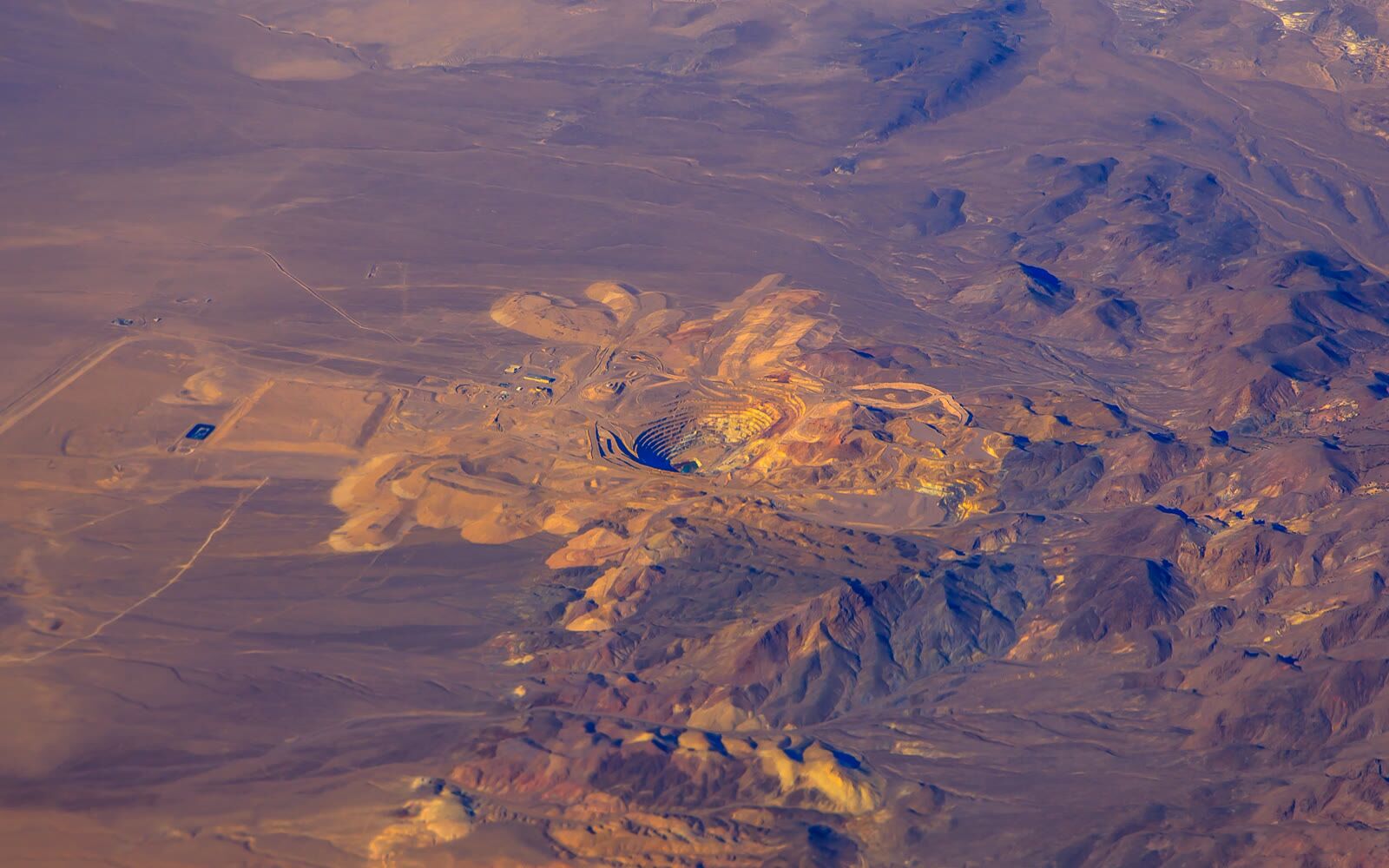
Mine Mapping — LiDAR + Ortho
High-precision terrain mapping using LiDAR technology combined with orthophoto generation for detailed mine site documentation and planning.
Contact us
01 / 05
Data that drives safer, smarter mining operations.
08 Services
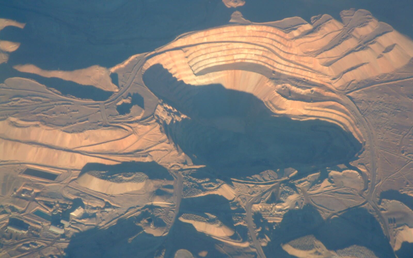
High-precision terrain mapping using LiDAR technology combined with orthophoto generation for detailed mine site documentation and planning.
Contact us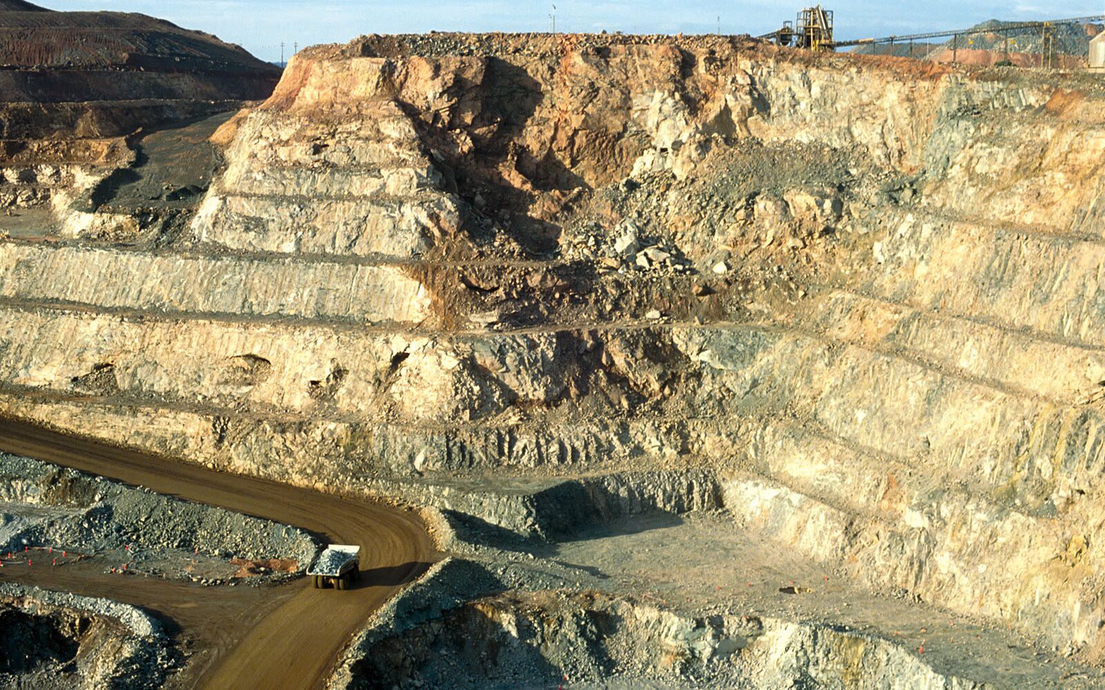
Aerial surveys of access roads, conveyor systems, pipelines and utility corridors connecting mine sites to processing facilities.
Contact us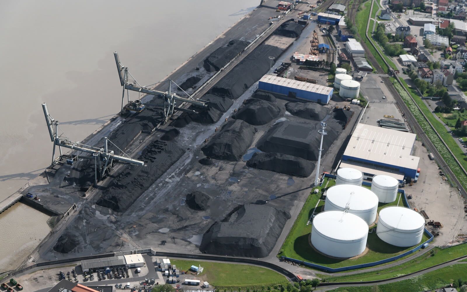
Accurate volume calculations of stockpiles, waste dumps and extraction areas using dense 3D point clouds and digital surface models.
Contact us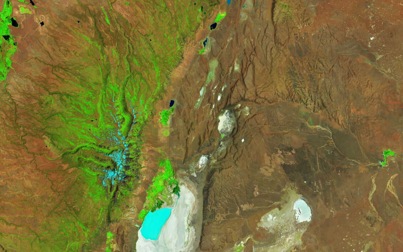
Spectral imaging for mineral identification, alteration mapping and geological analysis to support exploration and resource management.
Contact us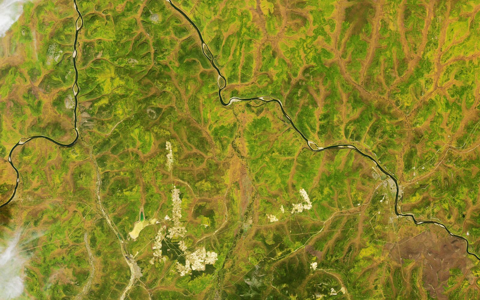
High-resolution satellite imagery for regional exploration, environmental monitoring and change detection across mining concessions.
Contact us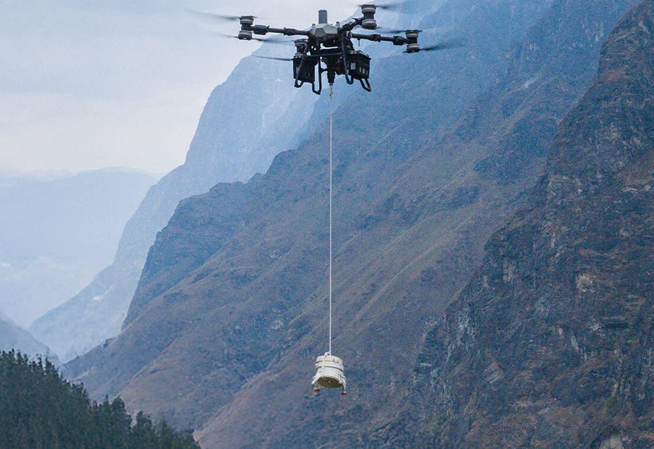
Transport of materials, equipment and supplies to remote or difficult-to-access mining locations using heavy-lift UAV platforms.
Contact us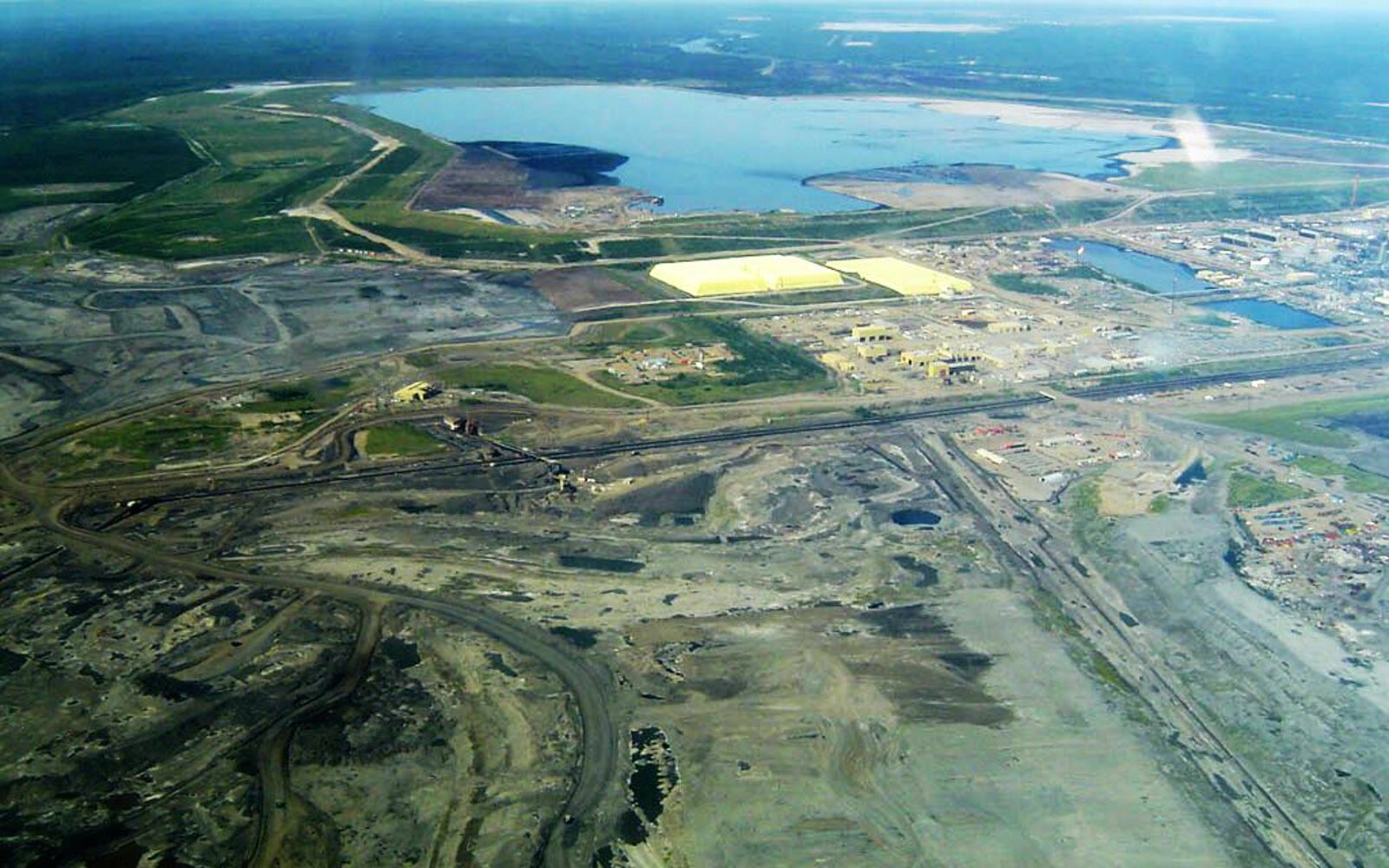
Underwater terrain mapping of tailing ponds, water reservoirs and other submerged areas for capacity assessment and safety monitoring.
Contact us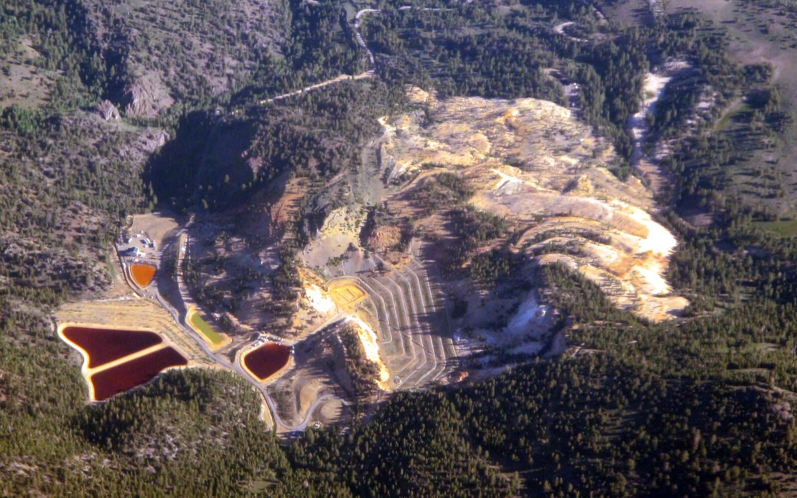
Custom survey solutions, topographic control, geodetic networks, construction monitoring and specialized geospatial services for mining operations.
Contact usOther industries
Contact us
Tell us what you need to survey, measure or move and we will prepare a tailored proposal.
Contact us