01/09
Road Mapping — LiDAR + Ortho
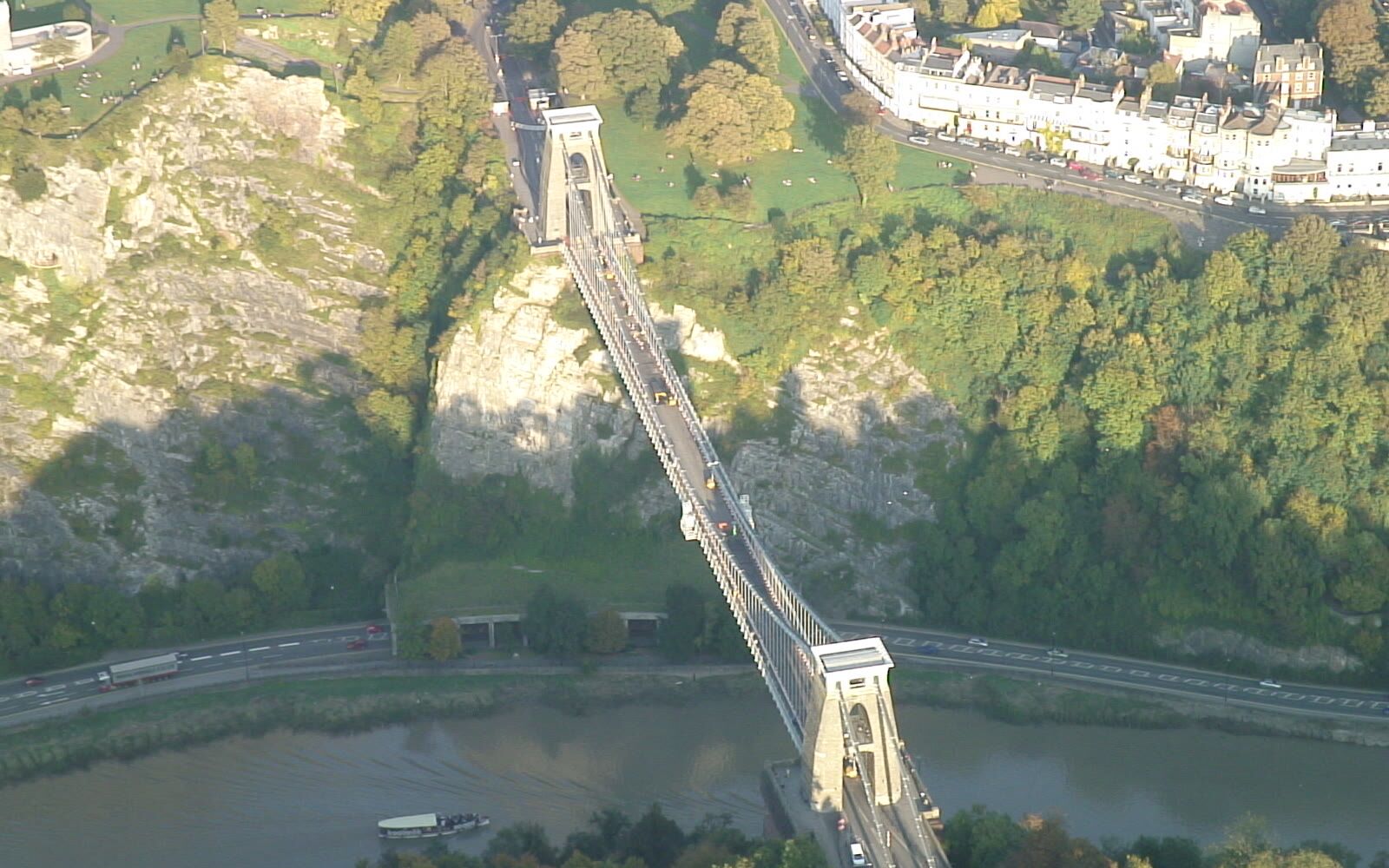
High-precision mapping of roads and highways using LiDAR technology combined with orthophoto generation for corridor documentation and design.
Contact us
04 / 05
Accurate information for design, construction and asset management.
09 Services
Services
High-precision mapping of roads and highways using LiDAR technology combined with orthophoto generation for corridor documentation and design.
Contact us
Detailed surveys of railway corridors using LiDAR and orthophoto techniques for asset management, maintenance planning and clearance analysis.
Contact us
Vegetation encroachment analysis along transmission corridors using LiDAR point clouds for clearance assessment and right-of-way management.
Contact us
Aerial monitoring of pipeline rights-of-way for integrity management, leak detection support and environmental compliance documentation.
Contact us
Topographic surveys for engineering design using LiDAR and photogrammetric techniques to produce accurate terrain models and contour maps.
Contact us
Aerial progress monitoring of construction projects with periodic orthophotos and 3D models for as-built documentation and stakeholder reporting.
Contact us
Topographic base maps for infrastructure design including digital terrain models, contour lines and orthophotos for engineering planning.
Contact us
Transport of materials to construction sites and remote infrastructure locations using heavy-lift UAV platforms for logistics support.
Contact us
Custom survey solutions for infrastructure projects including geodetic control, deformation monitoring and specialized geospatial services.
Contact usContact us
Tell us what you need to survey, measure or move and we will prepare a tailored proposal.
Contact us