01/07
Land Mapping — LiDAR + Ortho
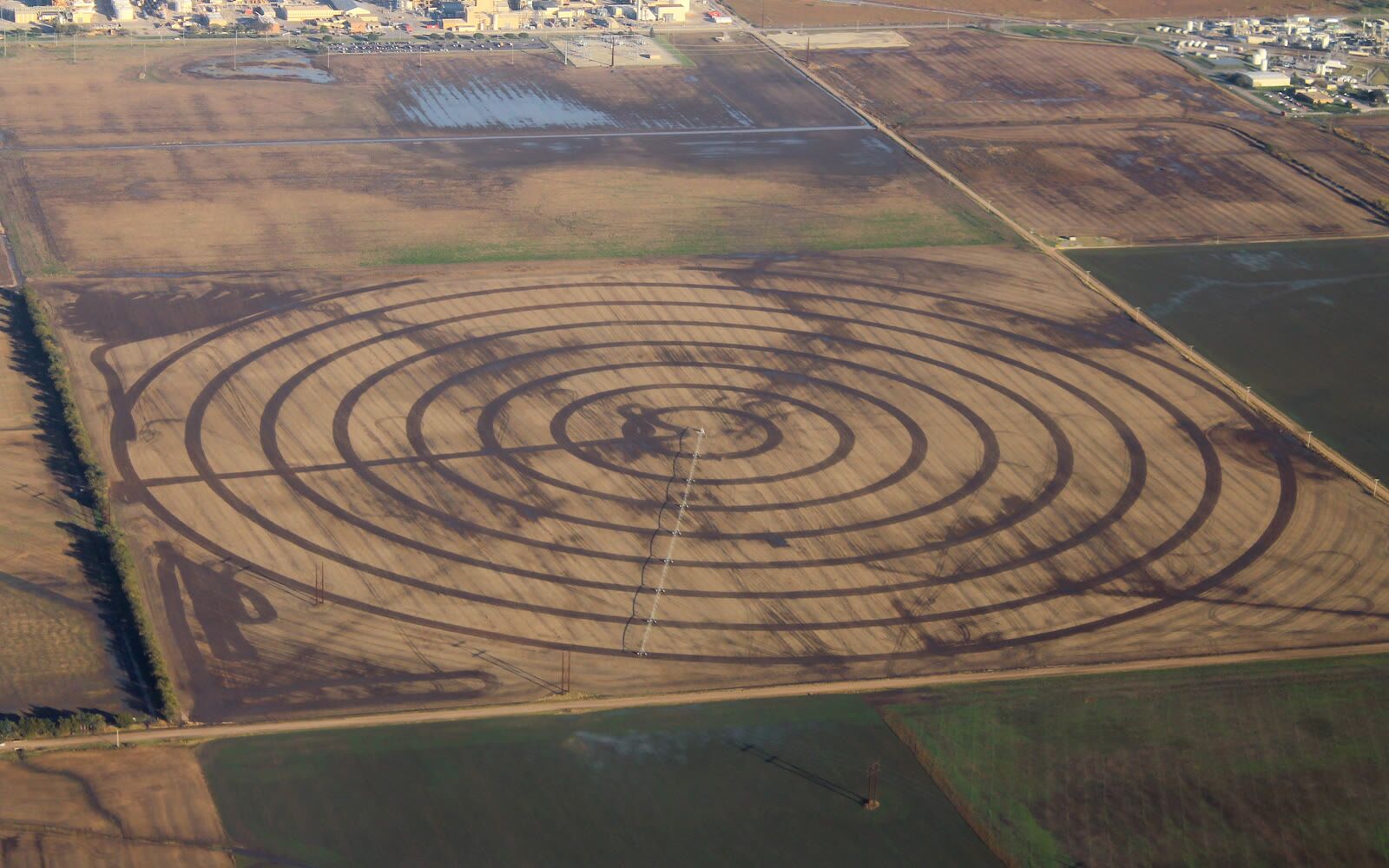
Detailed terrain mapping using LiDAR combined with high-resolution orthophoto for agricultural land.
Contact us
02 / 05
Intelligent data for land management and productivity.
07 Services
Detailed terrain mapping using LiDAR combined with high-resolution orthophoto for agricultural land.
Contact us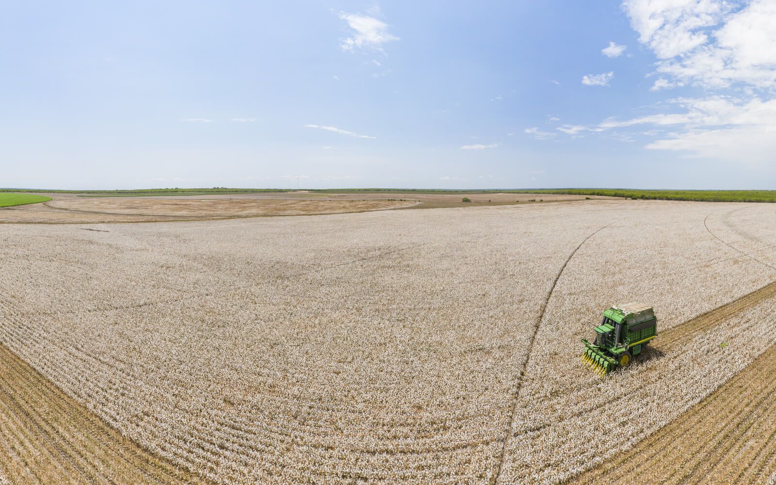
Precision mapping of irrigation systems and drainage networks.
Contact us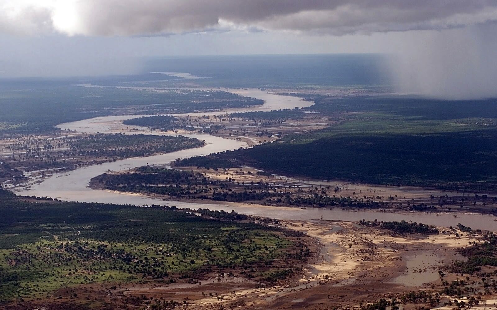
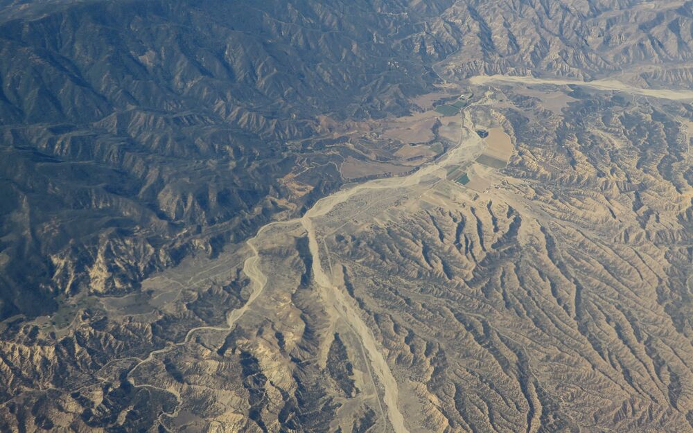
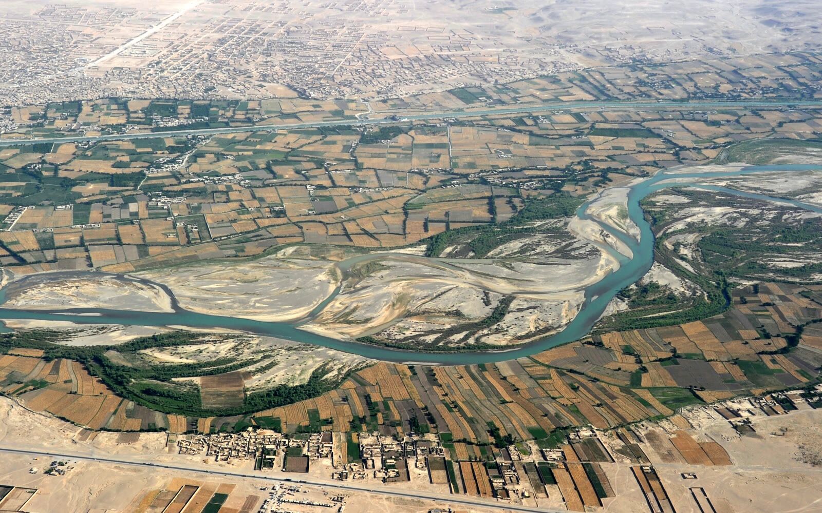
Aerial surveys of rivers, streams and hydrological features.
Contact us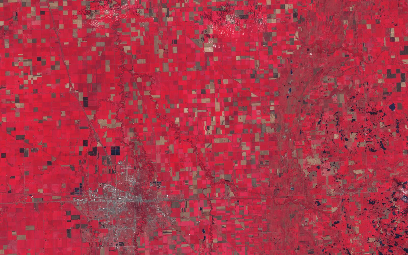
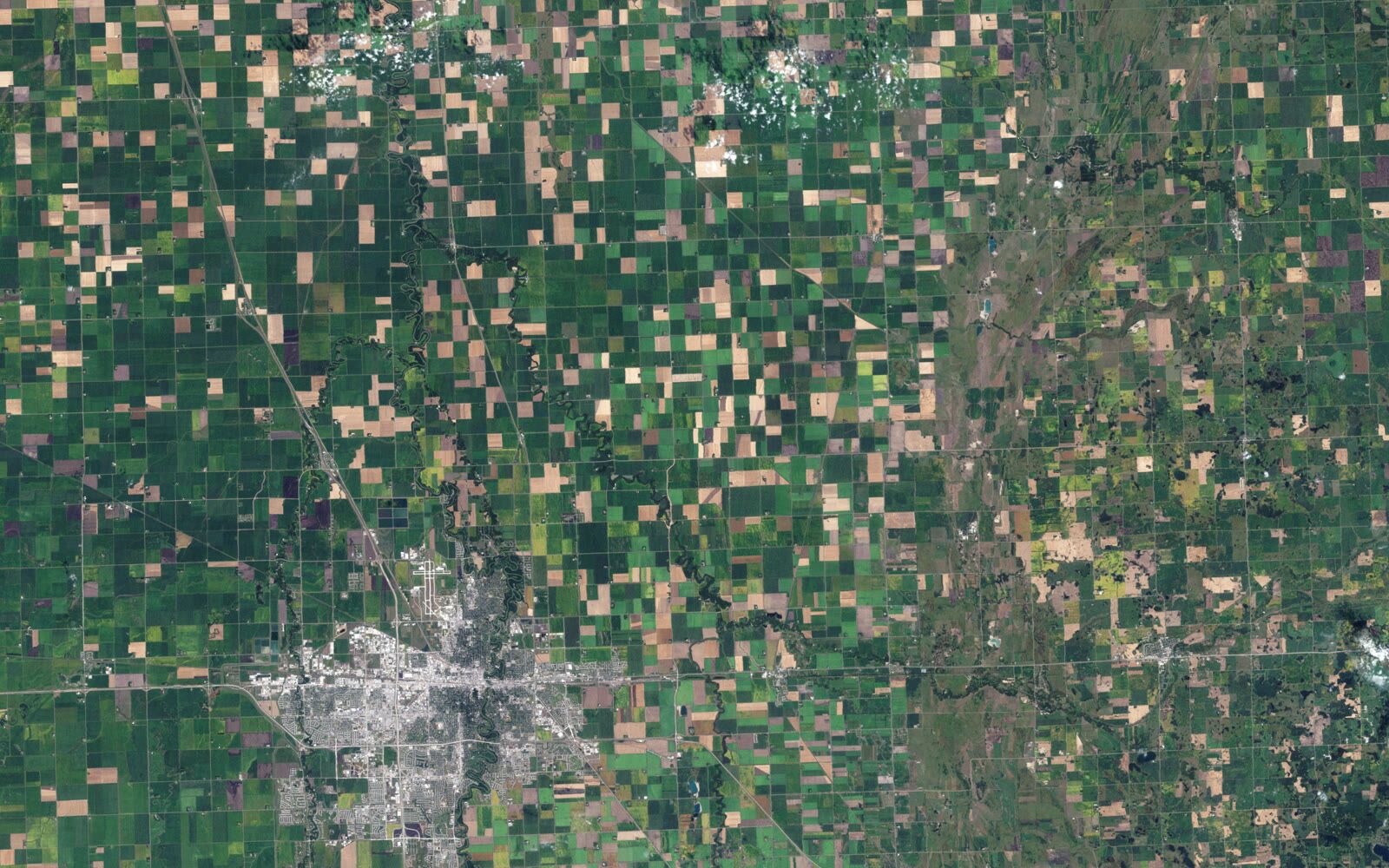
NDVI and multispectral analysis for crop health monitoring.
Contact us
Underwater mapping of irrigation channels and reservoirs.
Contact usContact us
Tell us what you need to survey, measure or move and we will prepare a tailored proposal.
Contact us