Environment & Natural Resources

05 / 05

Environment & Natural Resources

Environmental intelligence for sustainable decision making.

07 Services

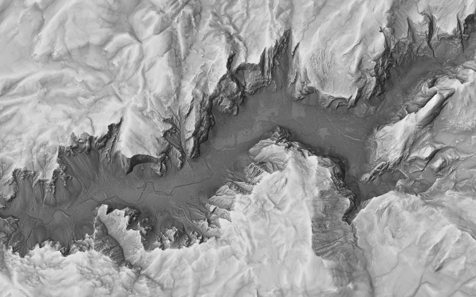
Terrain mapping with LiDAR and orthophoto
ENVIRONMENT · 01
01/07

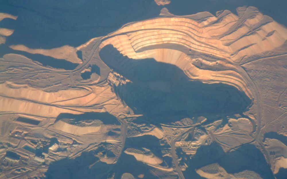
Mapping — LiDAR + Ortho

High-precision terrain mapping for environmental assessment.

Contact us
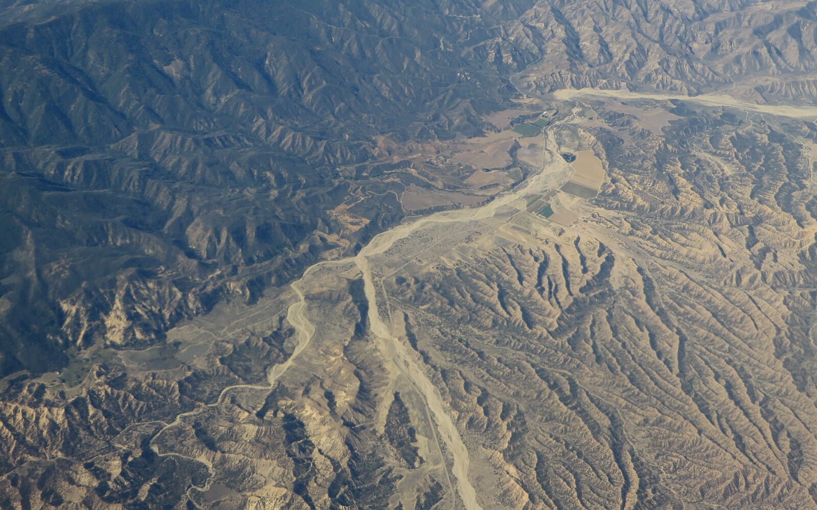
Vegetation and forest mapping
ENVIRONMENT · 02
02/07

Vegetation & Forest Mapping

Aerial surveys for forest inventory and biomass estimation.

Contact us
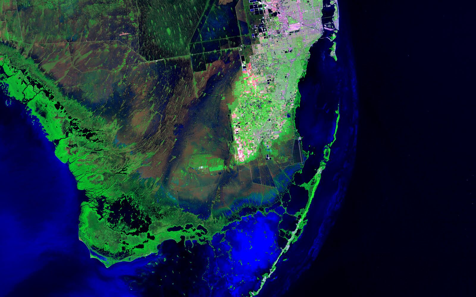
Hyperspectral analysis for environmental surveys
ENVIRONMENT · 03
03/07

Hyperspectral / Spectral Analysis

Spectral imaging for species identification and contamination assessment.

Contact us
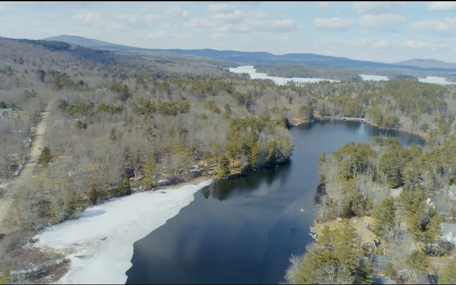
Watercourse and watershed mapping
ENVIRONMENT · 04
04/07

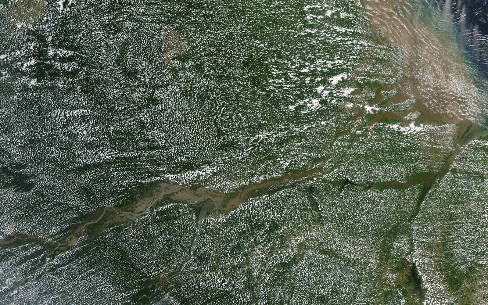
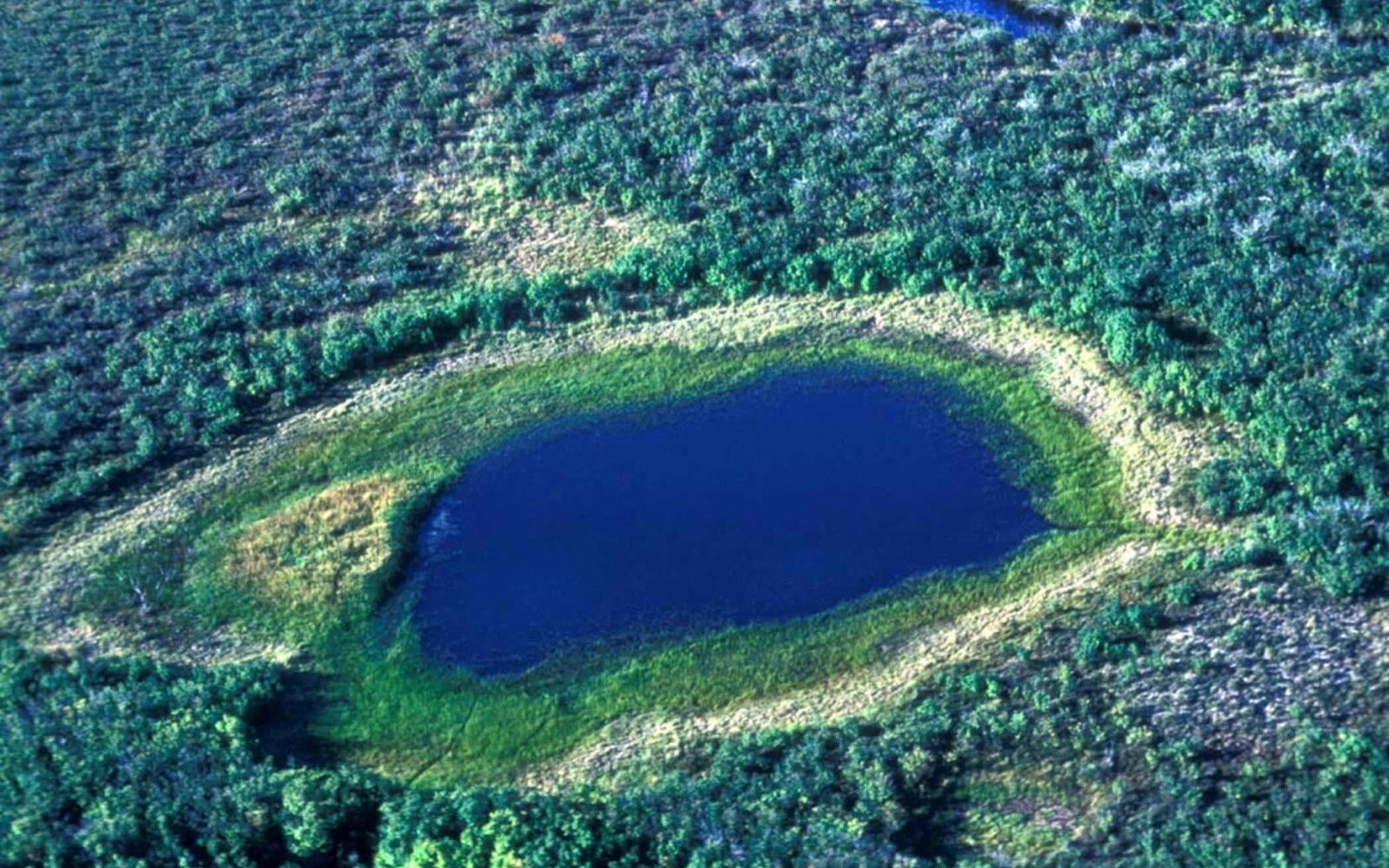
Watercourse & Watershed Mapping

Mapping of rivers, wetlands and watershed boundaries.

Contact us
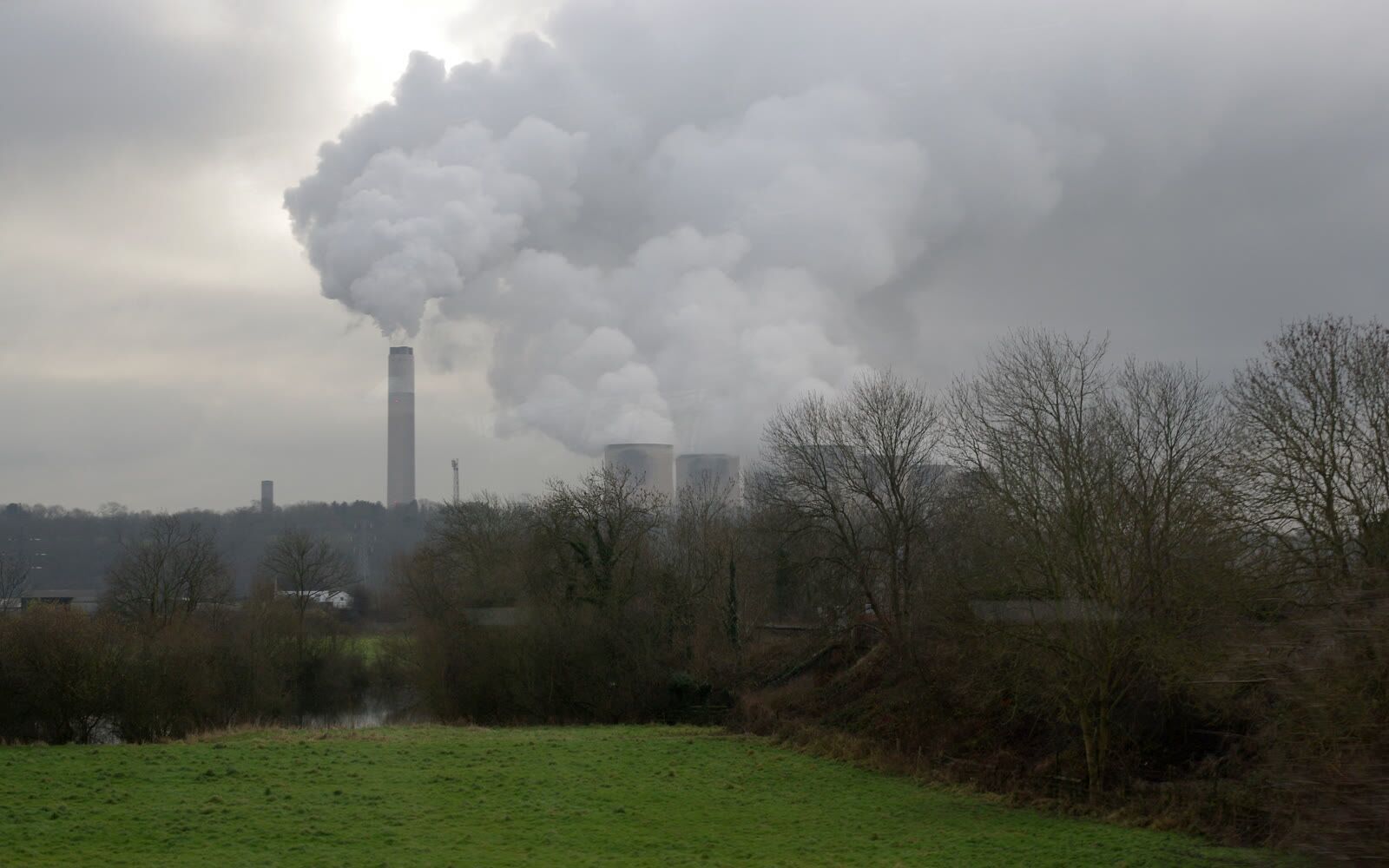
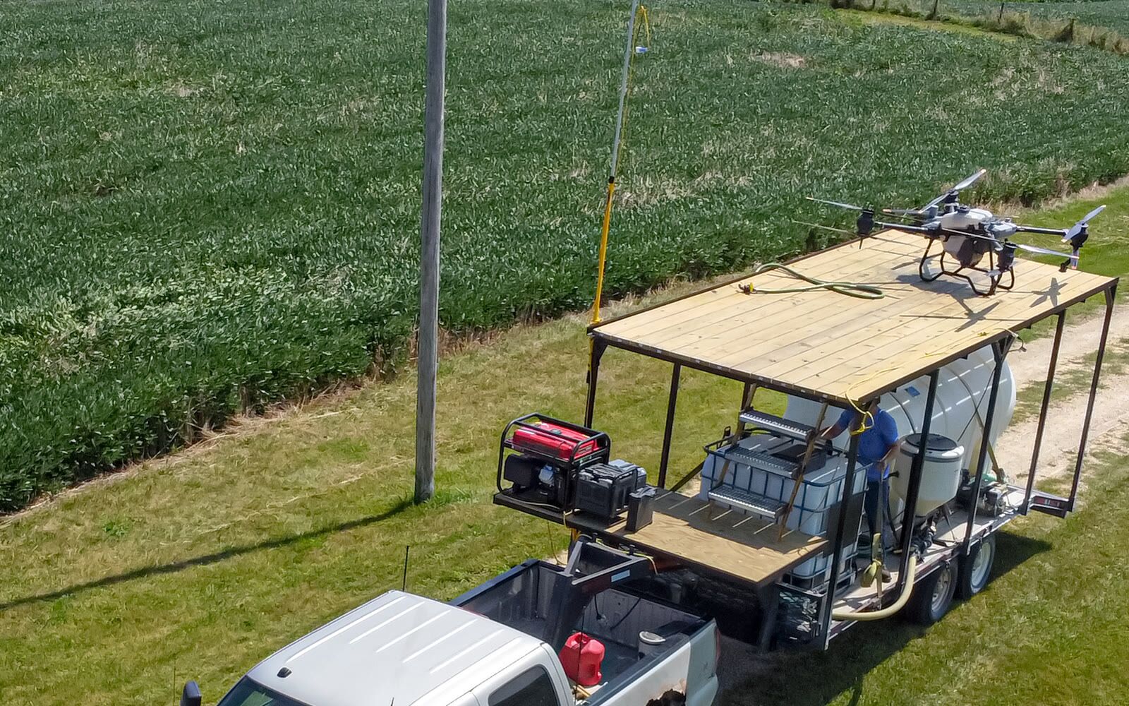
Scentroid contamination detection
ENVIRONMENT · 05
05/07

Scentroid — Contamination

Air quality monitoring and odor contamination detection.

Contact us
Heavy-lift cargo drones for environmental monitoring
ENVIRONMENT · 06
06/07

Heavy-Lift Cargo Drones

Transport of monitoring equipment to remote areas.

Contact us
Other environmental services
ENVIRONMENT · 07
07/07

Other Environmental Services

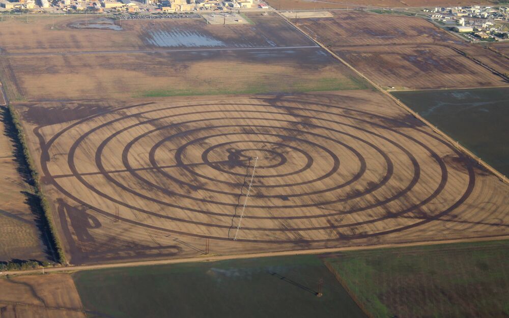
Custom environmental surveys and change detection.

Contact us

Contact us

Ready to start your project?

Tell us what you need to survey, measure or move and we will prepare a tailored proposal.

Contact us